Bangladesh Navy
Hydrographic & Oceanographic Center

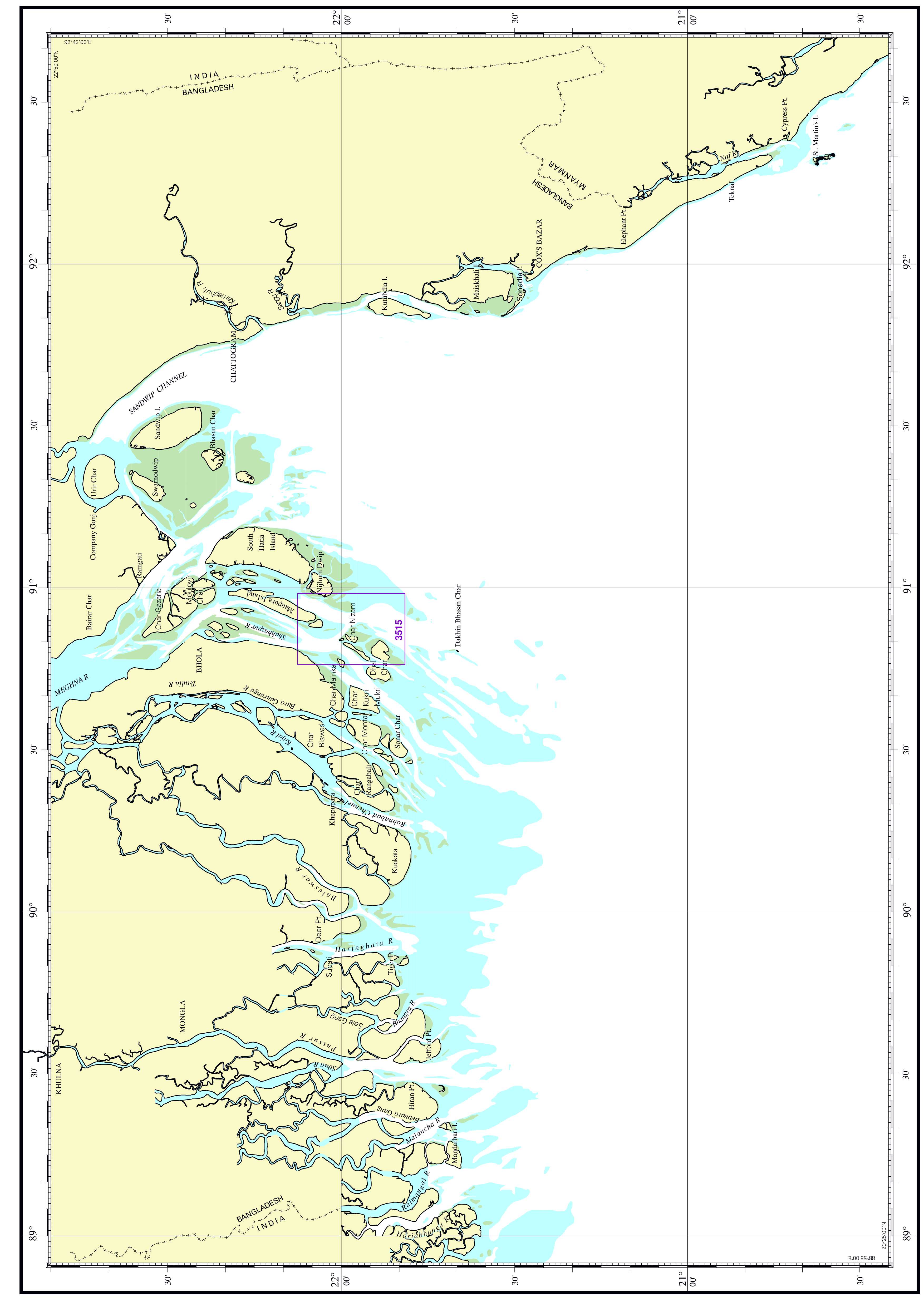
| Chart No. | 3515 |
|---|---|
| Title | Shahabazpur River-Char Nijam to Manpura Island |
| Geographic Location | Bay of Bengal |
| North Latitude | 22°07.50'N |
| South Latitude | 21°49.00'N |
| East Longitude | 090°59.00'E |
| West Longitude | 090°45.80'E |
| Scale | 35 000 |
| Projection | Mercator |
| Date of Publication | 2023-08-09 |
| Edition No | 1 |
| Edition Date | 2023-08-09 |