Bangladesh Navy
Hydrographic & Oceanographic Center

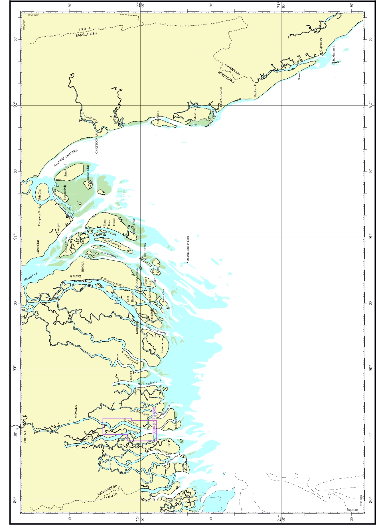
| Chart No. | 3004 (INT 7452) |
|---|---|
| Title | Trikona Island to Monkey Point |
| Geographic Location | Bay of Bengal |
| North Latitude | 22°15.90'N |
| South Latitude | 21°53.20'N |
| East Longitude | 089°37.25'E |
| West Longitude | 089°28.00'E |
| Scale | 1: 30 000 |
| Projection | Mercator |
| Date of Publication | 2017-06-04 |
| Edition No | 3 |
| Edition Date | 2025-03-25 |