Bangladesh Navy
Hydrographic & Oceanographic Center

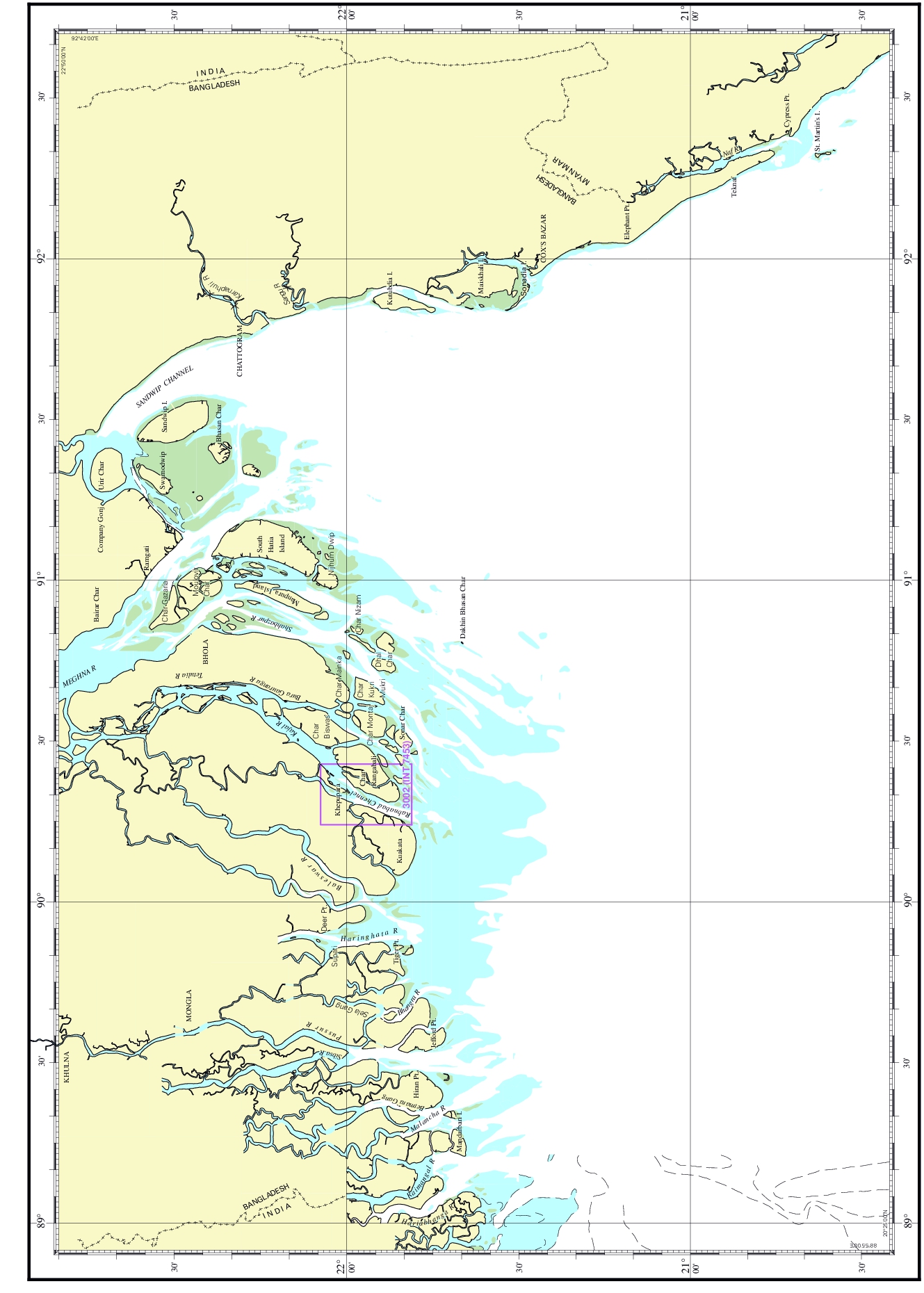
| Chart No. | 3002 (INT 7453) |
|---|---|
| Title | Payra Harbour |
| Geographic Location | Bay of Bengal |
| North Latitude | 22°04.55'N |
| South Latitude | 22°48.70'N |
| East Longitude | 090°25.70'E |
| West Longitude | 090°14.40'E |
| Scale | 1: 30 000 |
| Projection | Mercator |
| Date of Publication | 2017-02-02 |
| Edition No | 3 |
| Edition Date | 2025-02-16 |