Bangladesh Navy
Hydrographic & Oceanographic Center

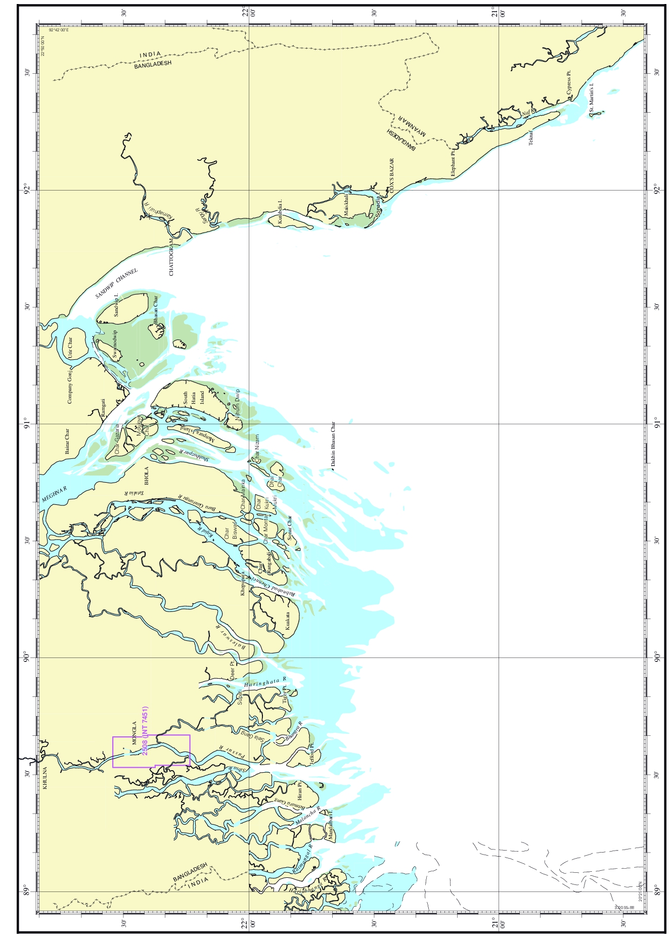
| Chart No. | 2508 (INT 7451) |
|---|---|
| Title | Pussur River- Monkey Point to Mongla port |
| Geographic Location | Bay of Bengal |
| North Latitude | 22°32.50'N |
| South Latitude | 22°14.10'N |
| East Longitude | 89°39.70'E |
| West Longitude | 89°32.40'E |
| Scale | 1: 25 000 |
| Projection | Mercator |
| Date of Publication | 2017-06-04 |
| Edition No | 3 |
| Edition Date | 2025-01-20 |