Bangladesh Navy
Hydrographic & Oceanographic Center

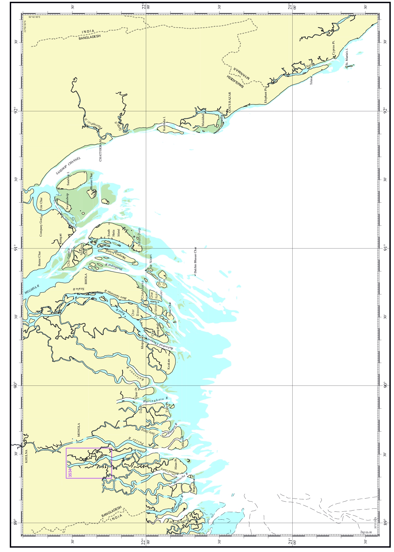
| Chart No. | 3534 |
|---|---|
| Title | Sibsa River – Foul Point to Chunkuri Khal |
| Geographic Location | Bay of Bengal |
| North Latitude | 22°32.50'N |
| South Latitude | 22°14.00'N |
| East Longitude | 089°19.50'E |
| West Longitude | 089°32.70'E |
| Scale | 1: 35 000 |
| Projection | Mercator |
| Date of Publication | 2019-01-17 |
| Edition No | 2 |
| Edition Date | 2024-09-26 |