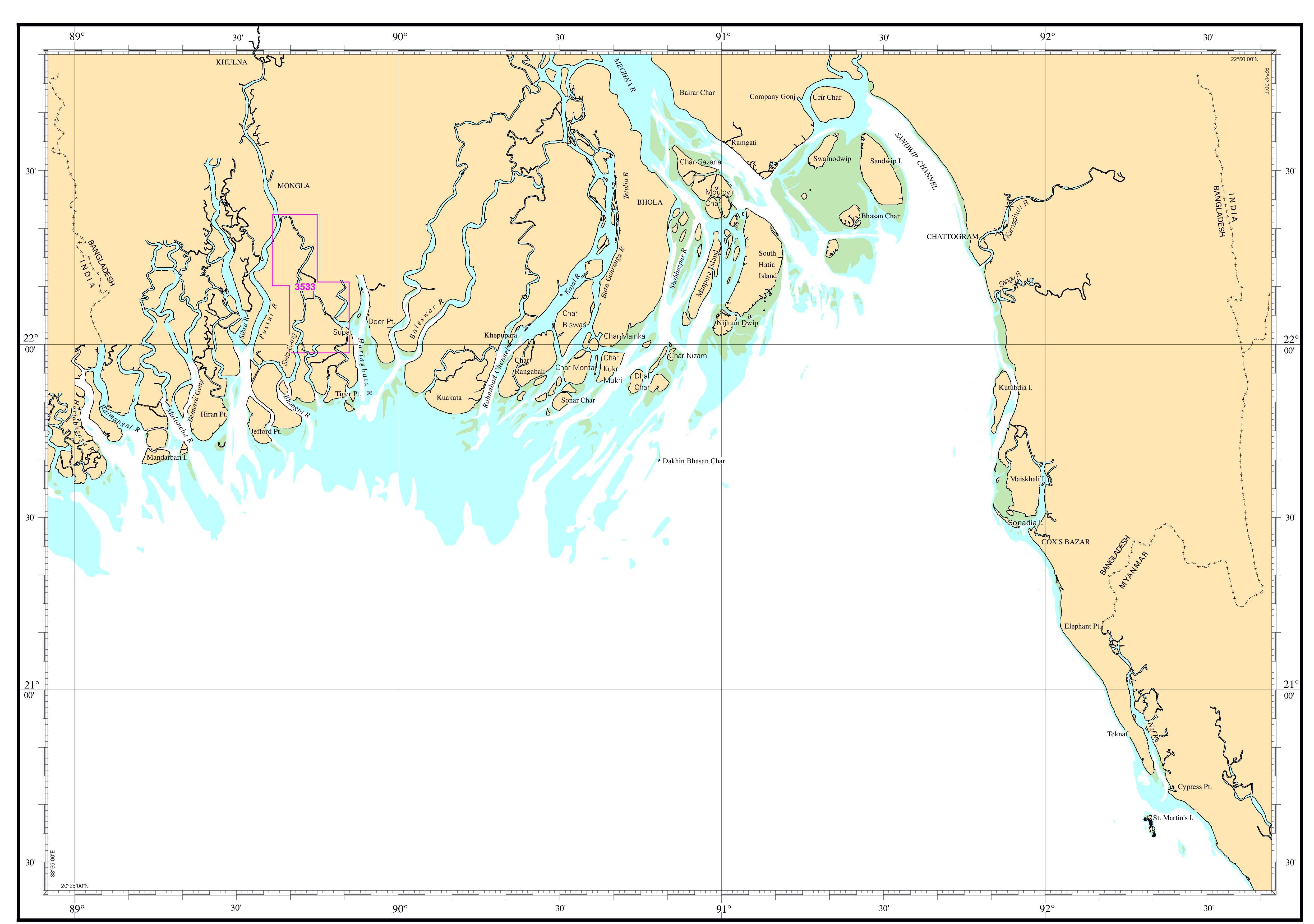
| Chart No. | 3533 |
|---|---|
| Title | Supati to Pussur River |
| Geographic Location | Bay of Bengal |
| North Latitude | 22°22.40'N |
| South Latitude | 21°58.50'N |
| East Longitude | 089°50.90'E |
| West Longitude | 089°36.65'E |
| Scale | 1: 35 000 |
| Projection | Mercator |
| Date of Publication | 2018-02-12 |
| Edition No | 1 |
| Edition Date | 2018-02-12 |
