Bangladesh Navy
Hydrographic & Oceanographic Center
Publish date : Jun 21, 2018
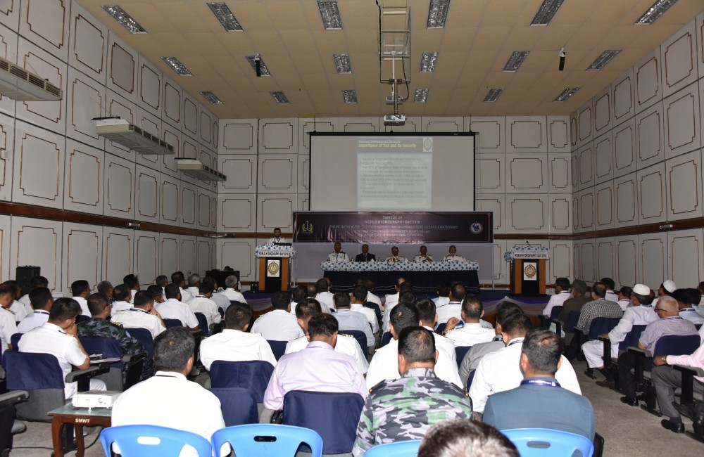
Chittagong, 21 June 2018: Bangladesh observed ‘Word Hydrography Day’ on 21 June 2018 with an aim to highlighting the importance of Hydrography. World Hydrography Day provides the opportunity to enhance the public awareness about the vital role that Hydrography plays in everyone’s life. This year the theme of the day is; “Bathymetry-the foundation for sustainable seas, oceans and waterways”.
Bangladesh is one of the members of International Hydrographic Organisation (IHO) and Bangladesh Navy (BN) acts as the focal point of all hydrographic matters in the sea area of Bangladesh. BN organized a seminar to commemorate the day at Chattogram under the command of Commander Chattogram Naval Area. The representatives from different ministries and maritime stakeholders and members of the National Hydrographic Committee along with senior naval officers were present in the seminar. Rear Admiral Mohammad Makbul Hossain, OSP, BCGMS, ndu, psc; Assistant Chief of Naval Staff (Operations) and Chairman of National Hydrographic Committee graced the seminar as the Chief Guest.
The 2030 Agenda for Sustainable Development by United Nations has total 17 goals. Among those, goal number 14 is “Conserve and sustainably use the oceans, seas and marine resources for sustainable development”. Requirement of hydrography is paramount to materialize this goal. The theme of the seminar provides the opportunity to raise awareness that a better understanding of the depth and the shape of the seabed is key to the success of all human activities in, on or under the sea – including safety of navigation, protection of the marine environment, development of the blue economy and the sustainable use and governance of the marine domain.
BN has developed the capability to produce International Standard Nautical Charts. Our charts are being used for ocean navigation by the mariners worldwide. BN has a memorandum of understanding with United Kingdom Hydrographic Office to print BN charts and market them to the mariners worldwide. Country is earning royalties from the sale proceed of these charts. We have also attained the capability of producing Electronic Navigational Chart (ENC) and already signed ‘Statement of Intent to Join’ with International Centre for ENCs (IC-ENC) which is one of the Regional coordinator of ENC. Thus, hydrographic services are contributing a lot for making the seaborne trade and ocean navigation safe.
The seas and oceans are now acknowledged as major contributors to the world economy and over 90% of the world’s trade travels through sea. The greatest challenge for a seafarer is to minimize the maritime accident due to the limited knowledge about the navigational hazards lying along the route. In this context, the basic premise of hydrography is to provide essential information to the mariners about the safe waterways through nautical charts and publications. Knowledge on the shape and the depth of the seabed has a significant impact on how sea level rise, storm and tsunamis affect the coastline. Moreover, hydrography plays a vital role in pursuing the activities like oil-gas exploration, dredging activities, offshore construction, cables & pipelines laying, telecommunications, weather & climate science, environmental monitoring, aquaculture, mineral resources, energy, biomedicine, ocean science and observation etc. With the increased usage of sea, the importance of hydrographic services will grow further in coming days.